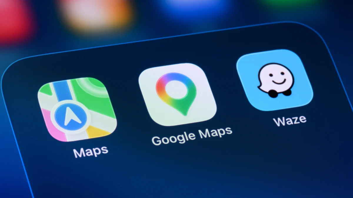
Modern navigation has evolved from simple turn-by-turn directions into a comprehensive ecosystem of real-time data exchange. Applications such as Google Maps and Waze serve as indispensable tools for millions of daily commuters, providing not just routing, but granular information regarding traffic flow, road hazards, and law enforcement presence. While the technology appears seamless, the mechanism behind these updates is a sophisticated blend of crowdsourced intelligence, machine learning, and data integration. Understanding how these platforms identify police sightings requires a look at the intersection of user participation and algorithmic processing.
The Mechanism of Crowdsourced Intelligence
At its core, the ability of GPS apps to alert drivers to police activity is fundamentally a crowdsourced endeavor. Unlike static data points—such as speed limits or road names—law enforcement presence is transient and highly localized. To track such events, Google Maps and Waze rely on a massive, distributed network of human sensors. When a driver encounters a police vehicle, they can trigger an input within the app’s interface. This data point is immediately broadcast to the cloud, where it is validated and pushed to other users traveling along that same trajectory.
This system functions as a continuous feedback loop. When a user marks a police location, the app prompts subsequent drivers in that vicinity to confirm or deny the report. If multiple users confirm the presence of an officer, the report is maintained. Conversely, if a sufficient number of drivers pass the location without reporting activity, the app assumes the officer has departed and removes the alert from the map. This verification process is critical; it prevents the map from becoming cluttered with obsolete information while ensuring that the data presented to the end user remains actionable.
A Chronology of Navigation Evolution
The integration of real-time traffic and hazard reporting is a relatively recent development in the history of consumer GPS technology. In the early 2000s, GPS devices were primarily offline, relying on pre-loaded maps that required manual updates. The shift toward "connected" navigation began in earnest with the proliferation of smartphones and high-speed mobile data.
Waze, founded in 2008 as FreeMap Israel, pioneered the concept of community-driven mapping. By gamifying the reporting process, Waze incentivized users to provide real-time updates on traffic, construction, and police activity. The company’s acquisition by Google in 2013 for approximately $1.1 billion was a pivotal moment. It signaled Google’s intent to integrate high-frequency, user-generated data into its own mapping ecosystem.
Since the acquisition, Google has gradually folded the crowdsourcing philosophy into Google Maps. While the two apps operate with different user interfaces—Google Maps emphasizing a clean, utility-focused aesthetic and Waze focusing on a social, high-engagement experience—they now share a significant portion of their backend traffic data. This cross-pollination of data ensures that a report submitted in Waze is frequently visible to a Google Maps user, effectively pooling the intelligence of the largest driver network in the world.
Supporting Data and Algorithmic Integration
Beyond direct user input, Google Maps employs complex machine learning models to anticipate traffic conditions. For years, Google has utilized anonymous location data—aggregated from millions of Android and iOS devices—to calculate average speeds on specific road segments. When the average speed of devices on a stretch of highway drops significantly below the posted limit without a corresponding report of a crash, the algorithm flags a potential bottleneck.
However, police sightings are distinct from traffic congestion. While machine learning can identify that a group of cars has slowed down, it cannot inherently distinguish between a traffic jam, an accident, or a police speed trap. This is why the human element remains vital. The "Report" function is the bridge that allows users to provide qualitative context to the quantitative data captured by GPS sensors.
Data analytics firms have noted that the effectiveness of these platforms scales with user density. In urban centers, where the user-to-road ratio is high, alerts are remarkably accurate and updated within seconds. In rural areas, the "latency" of these reports increases, as there are fewer drivers to confirm or refute the status of an incident. This geographical variance is a standard limitation of any crowdsourced system.
Official Responses and Ethical Considerations
The inclusion of features that allow drivers to track police locations has sparked debate among law enforcement agencies and safety advocacy groups. Historically, some police departments have expressed concern that such features could be exploited by individuals to evade sobriety checkpoints or hide other illegal activities.
However, tech companies argue that these features serve a broader safety objective. By alerting drivers to police presence, apps often encourage motorists to adhere to speed limits and remain vigilant, which can lead to a general reduction in high-speed driving in those areas. From a developer’s perspective, the primary goal is the democratization of information. By providing users with a comprehensive view of the road ahead, these apps aim to reduce driver stress and promote safer, more predictable driving patterns.
In many jurisdictions, the legality of these features is rarely contested, as the information provided is based on public observation. While some attempts have been made in various legislative bodies to restrict apps from broadcasting the locations of police-led sobriety checkpoints, these efforts have generally faced significant legal hurdles regarding the First Amendment and the nature of public information.
Broader Impact on Modern Transportation
The implications of real-time reporting extend far beyond avoiding a speeding ticket. This technology has fundamentally altered the relationship between the driver and the road. Drivers now expect to be warned about environmental hazards—such as flooded roads, potholes, or debris—before they encounter them. This expectation of "omniscience" has raised the bar for what constitutes a reliable navigation tool.
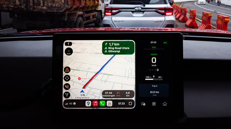
Furthermore, the integration of these systems into vehicle infotainment consoles, such as Android Auto and Apple CarPlay, has moved these tools from the handheld device to the primary dashboard interface. This transition has improved road safety by reducing the need for drivers to handle their phones, allowing them to submit or confirm reports through simple, voice-activated or large-button interactions.
As autonomous vehicle technology continues to advance, the role of crowdsourced data will likely evolve. Future autonomous systems will likely rely on a combination of onboard LiDAR and radar, supplemented by "V2X" (Vehicle-to-Everything) communication. In this future, the human report may be replaced by automated vehicle sensors that broadcast road conditions to a central grid in real time. Until that infrastructure is fully realized, however, the human driver remains the most critical component in the vast, collaborative network that powers our modern digital maps.
The success of these apps is a testament to the power of shared data. By turning individual drivers into nodes in a massive, real-time communication network, companies have created a system that is far more accurate than any single sensor could be. Whether it is a routine commute or a long-distance road trip, the ability to see what lies ahead remains one of the most transformative developments in the history of modern travel.